Esri and Portcoast Forge Strategic Partnership to Advance Smart and Sustainable Infrastructure in Vietnam
On April 22, Esri (USA) and Portcoast (VIETNAM) formally entered into a Memorandum of Understanding, in the context of digital transformation emerging as a pivotal force driving the development of sustainable and intelligent infrastructure in Vietnam. This milestone event underscores Portcoast’s leadership in fostering international collaboration and leveraging advanced technologies in the fields of infrastructure and construction, thereby making a significant contribution to the advancement of smart and sustainable urban development across Vietnam.
This event affirms Portcoast's pioneering role in promoting international collaboration, applying advanced technology to infrastructure and construction, and making a significant contribution to the development of smart and sustainable urban areas in Vietnam.
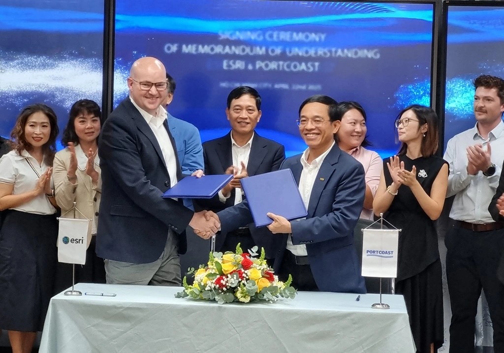
PHOTO: MAI KHANH
Esri (Environmental Systems Research Institute) is the world’s
leading company in geographic information system (GIS) software, founded in 1969 and headquartered in
Redlands, California, USA. With over 50 years of development, Esri currently provides spatial
technology solutions to more than 350,000 organizations worldwide, including government agencies,
businesses, non-profits, and educational institutions.
Esri’s flagship product is ArcGIS — a platform for collecting, managing, analyzing, and visualizing spatial data. ArcGIS plays a central role in supporting digital transformation in many countries, especially in urban planning, infrastructure management, resource conservation, disaster prevention, and sustainable development.
Esri pioneers the integration of GIS with advanced technologies such as BIM, AI, IoT, Lidar, and Unmanned Aerial Vehicles (UAVs). Thanks to this, models like Digital Twins, real-time flood simulations, and 3D spatial monitoring of ecosystems and infrastructure have become a reality. The company is also a strategic partner of major technology corporations such as Microsoft, Autodesk, Trimble, SAP, and others to expand the GIS application ecosystem globally.
Additionally, Esri actively collaborates with educational and research institutions to promote innovation. Through programs such as "ArcGIS for Schools," "Esri Academy," and global training initiatives, the company contributes to enhancing spatial technology capabilities for future generations of engineers, planners, and researchers.
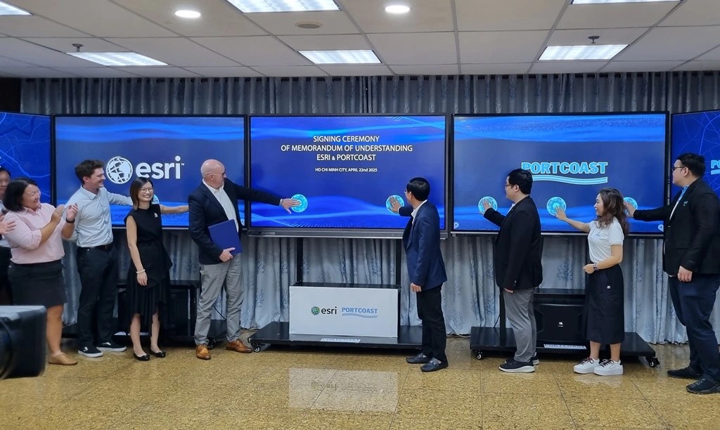
PHOTO: MAI KHANH
Meanwhile, Portcoast is a leading consulting company in Vietnam for digital transformation in infrastructure and port-marine engineering. Projects consulted by Portcoast are present not only throughout Vietnam but also in countries such as Egypt, UAE, Pakistan, Cambodia, Myanmar, and Thailand. In recent years, Portcoast has strongly focused on researching and applying digitalization technology to infrastructure, not only in transportation but also in industrial, urban, and heritage conservation sectors.
Currently, Portcoast is the leading consultant in surveying and constructing digital models of existing conditions using advanced technologies such as Laser Scanning, Lidar, and Photogrammetry on GIS platforms, developing 2D/3D digital maps, applying Building Information Modeling (BIM) from the surveying, planning, design, and construction supervision stages, integrating BIM models into 3D GIS systems, and developing Virtual Reality (VR, XR, MR) applications and Digital Twin models.
Over the years, Portcoast has proactively collaborated and built strategic relationships with leading global technology corporations to drive digital transformation in the infrastructure sector. Among them, Esri — the global leader in GIS — is a key partner. Portcoast and Esri cooperate in various areas: technology consulting, ArcGIS platform implementation, Digital Twin application development, as well as training and sharing specialized knowledge with engineers and experts in Vietnam.
The Government of Vietnam has approved the National Planning Information System Project, aiming by 2026: 100% of national, regional, and provincial planning data records to be built on GIS platforms; 30% of district-level land-use planning databases to be GIS-based. By 2030: 100% of district-level land-use planning databases to be GIS-based. By 2035: 100% of all planning databases, including technical and specialized plans, to be GIS-based. The scope covers the entire country, including national, regional, provincial, district, urban, rural, and other specialized plans.
Source: thanhnien.vn
Pageviews: 0
PORTCOAST ĐỒNG HÀNH CÙNG ĐẠI HỌC THỦY LỢI TRONG HÀNH TRÌNH SỐ HÓA 3D CƠ SỞ ĐÀO TẠO
Theo daibieunhandan.vn - 14/04/2025
Portcoast hân hạnh là đơn vị triển khai mô hình không gian số 3D thực ...
Portcoast và Trường Đại học Xây dựng Hà Nội đồng tổ chức hội thảo về Chuyển đổi số trong hạ tầng đường sắt
Theo giaoduc.net.vn - 11/04/2025
Ngày 11/4/2025, Portcoast đã phối hợp với Trường Đại học xây dựng Hà N...
Số hóa như một “bảo hiểm” di sản: Giải pháp Quét 3D và H-BIM của Portcoast
Theo sggp.org.vn - 07/04/2025
Số hóa - Một "Bảo hiểm" cho Di sản Ông Trần Tấn Phúc, Chủ tịch Hội đồn...