Accelerated digitalization of the Ben Thanh - Suoi Tien metro line number 1
In recent days, the residents of Ho Chi Minh City have been excited to see banners stating: "Metro Line No. 1 officially operates on December 22." Meanwhile, the technical staff of Urban Railway Company No. 1 LLC and Portcoast Company are racing against time, working day and night to complete the digitalization of Metro Line No. 1 before this important date.
PCC
"To achieve our goals, the Urban Railway Management Board and Urban Railway Company No. 1 have made every effort. It is also a joy for us as the finish line is near," said Mr. Lê Minh Triết, General Director of Urban Railway Company No. 1 HCMC.
Mr. Lê Minh Triết stated that the current trial operation is ongoing from December 13 to 21. This is the final test to check all technical systems, trains, carriages, and components before the metro officially begins operation.
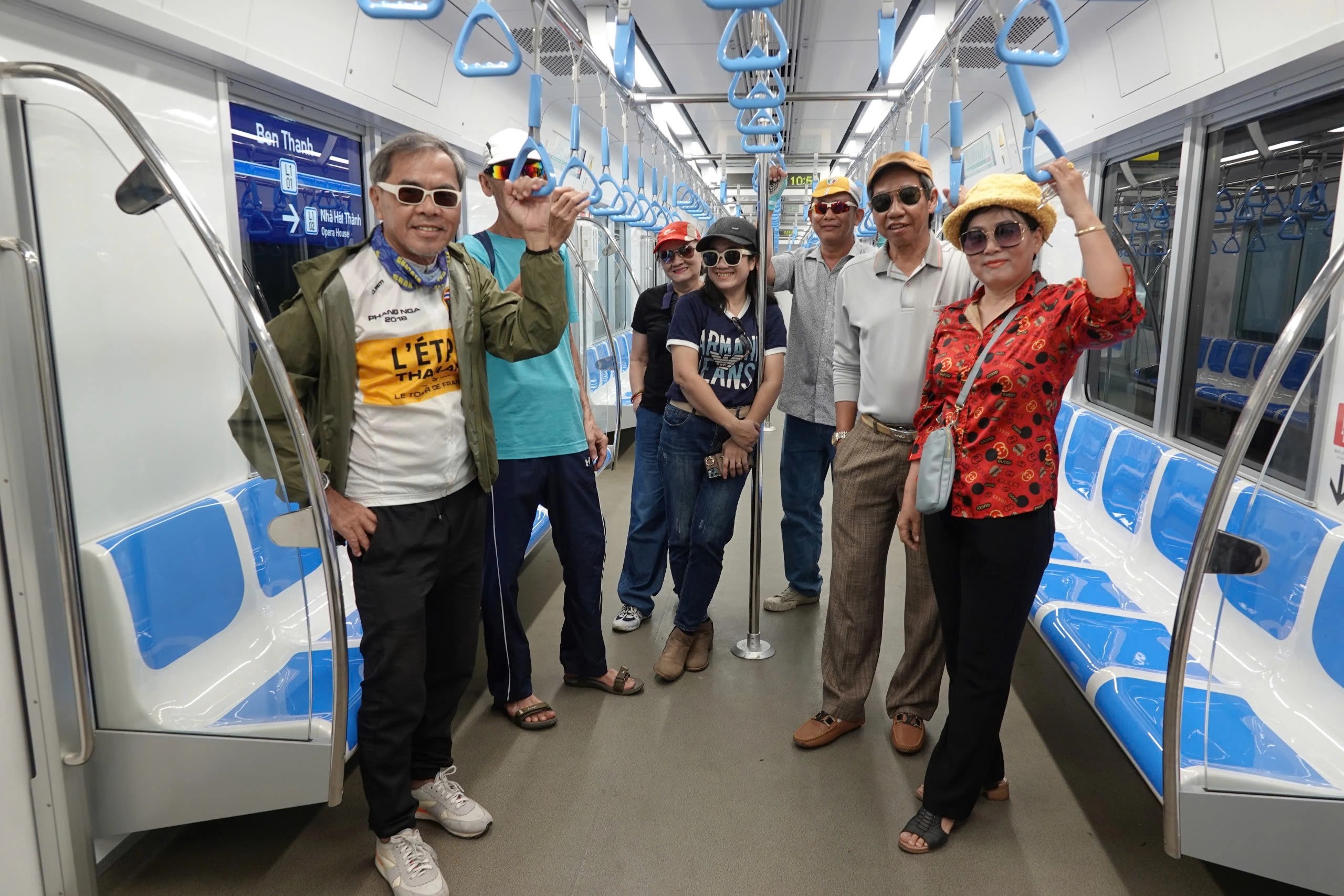
PHOTO: VŨ QUỐC ĐOAN
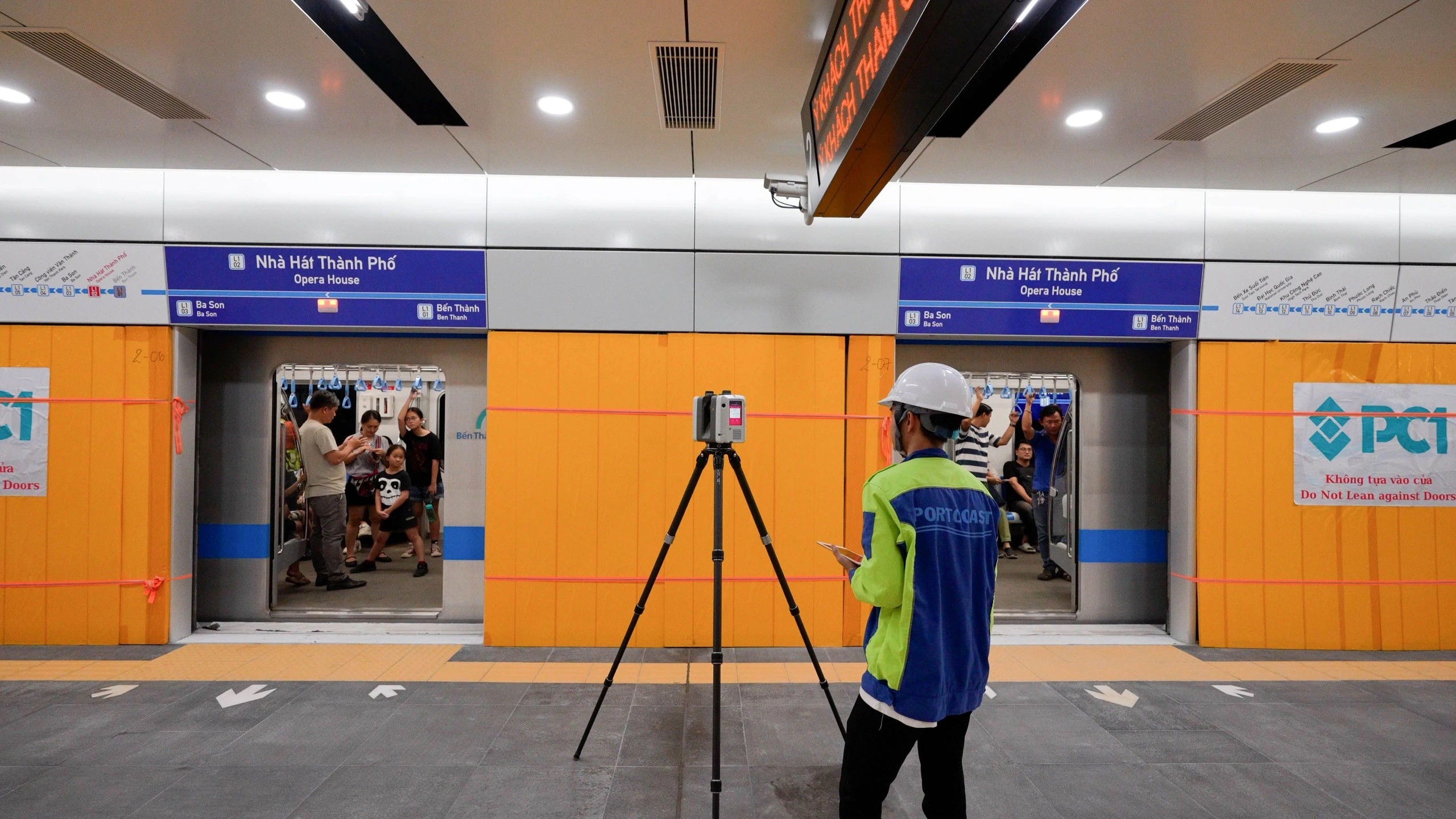
In addition to focusing on the official operation, Urban Railway Company No. 1 is also racing against time along with Portcoast Consulting Corporation to digitize Metro Line 1. Portcoast owns some of the most modern equipment in Vietnam and Southeast Asia, alongside the world, to carry out this digitization.
Each 3D laser scanner can scan 2 million points per second, known as a 3D point cloud. Each collected point has XYZ coordinates and color parameters, allowing the creation of accurate and detailed 3D models with millimeter discrepancies compared to the design documents, as well as knowing any future shifts of any item. Thus, the project will have tens of billions of accurate measurement points preserved for hundreds of years.
Currently, the technical staff of Urban Railway Company No. 1 HCMC and engineers from Portcoast must complete the 3D laser scanning tasks, as well as survey work using unmanned aerial vehicles combined with Lidar and special 3D cameras, ultra-high resolution, multi-lens. These tasks cannot be performed in many areas once the train starts operating, to ensure absolute safety.
All components of the structure must be scanned with a laser before being obscured so we can be certain of what is inside, how many steel bars there are, the diameter of the steel, the thickness of the concrete shell, the mechanical and electrical systems… and this can currently only be done for the exterior parts.
The digitization of Metro Line 1 aims to develop a management system that applies BIM (Building Information Modeling) and GIS (Geographic Information System) in the field of operation, exploitation, and maintenance of the urban railway line. These digital BIM and GIS models will help optimize the operation, exploitation, and especially the maintenance of Metro Line 1.
"The digitization work involves collecting the entire current state of Metro Line 1 in detailed and accurate 3D form. From the data collected, we can operate this metro line better, also helping the whole line to operate smoothly and safely. The data collected can be preserved and used for hundreds of years to come. Additionally, we use VR (virtual reality) technology on the web, allowing people who have never ridden the metro to experience it to avoid being bewildered before actually riding," said engineer Vũ Hoàng Minh, Deputy Director of the Digital Transformation and Infrastructure Center at Portcoast.
According to engineer Minh, 3D laser scanning technology is like photographing the current state of the structure, but in addition to images, we also collect important data such as distances and measurements of every detail, including every bolt and screw… Therefore, this is a very important technology for the management, operation, and maintenance of structures in the future. From the 3D data, consultants will build a BIM model, helping the management agency and contractors to use it best.
From the perspective of the management and operation unit, Mr. Lê Minh Triết believes that these survey tasks, especially the 3D laser scanning, should have been performed from the initial stages like project survey, design, construction, acceptance, and handover. He hopes that Metro Line 2 and other metro lines of HCMC will implement BIM and GIS at a high level right from the start and apply 3D laser scanning technology at every step in the construction process.
Below are images of the digitization of the entire Metro Line 1 in collaboration between Urban Railway Company No. 1 and Portcoast:
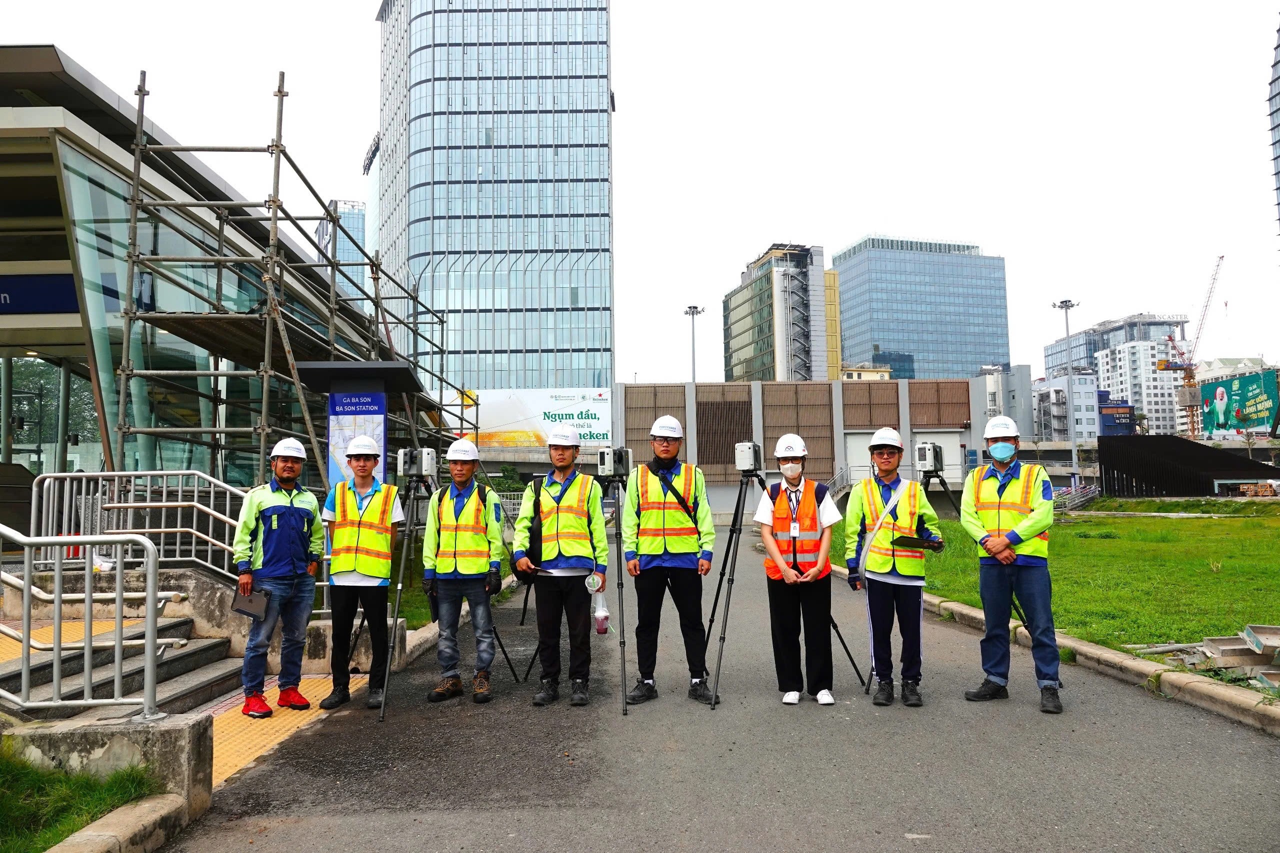
PHOTO: VŨ QUỐC ĐOAN
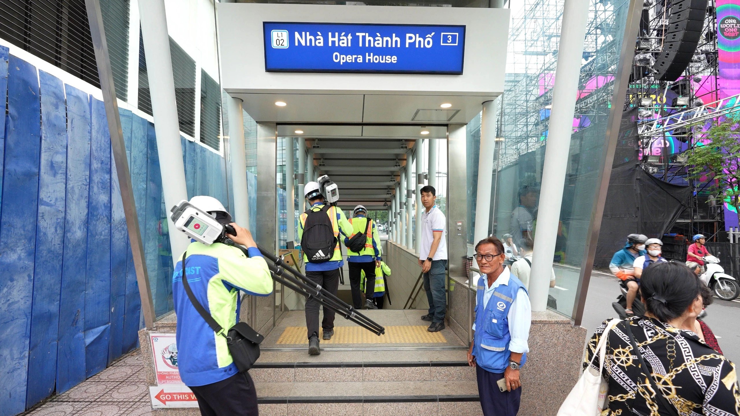
PHOTO: PCC
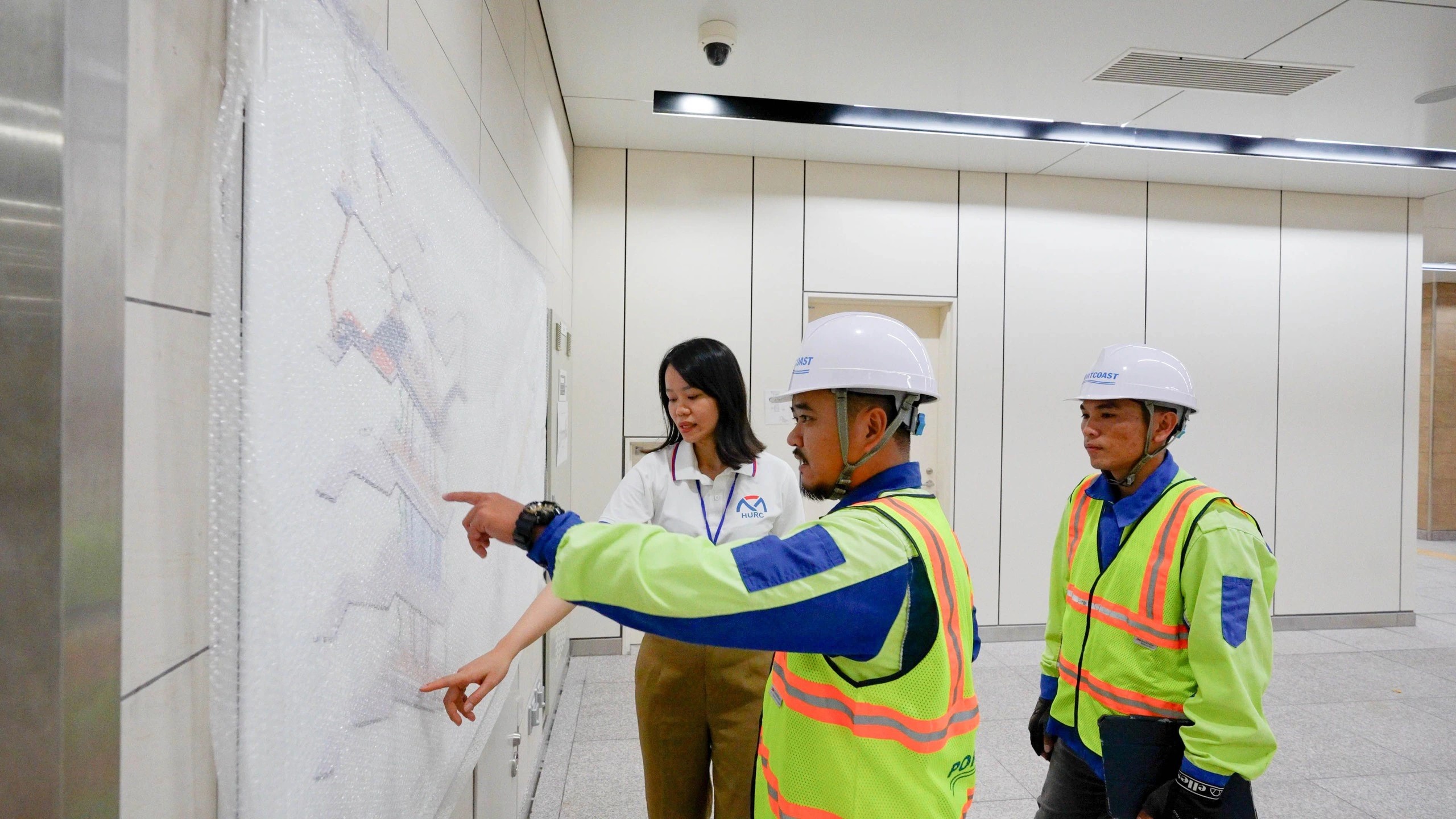
PHOTO: PCC
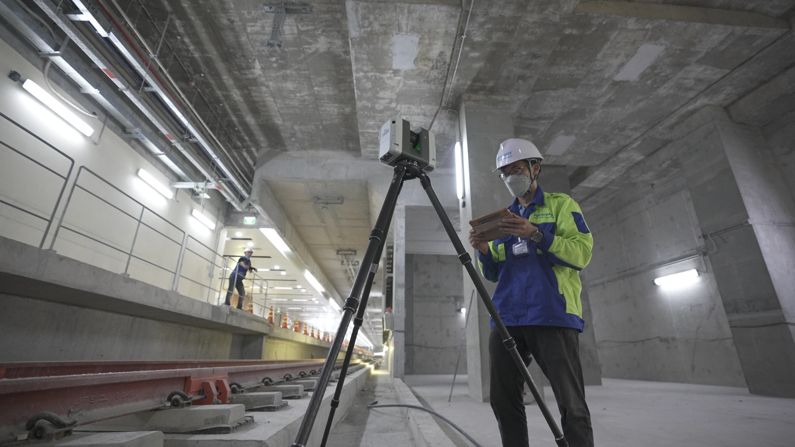
PHOTO: PCC
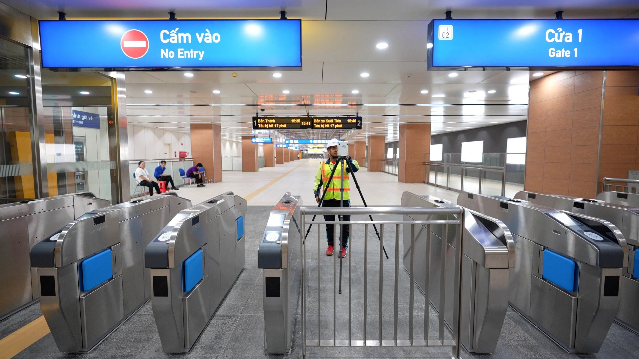
PHOTO: PCC
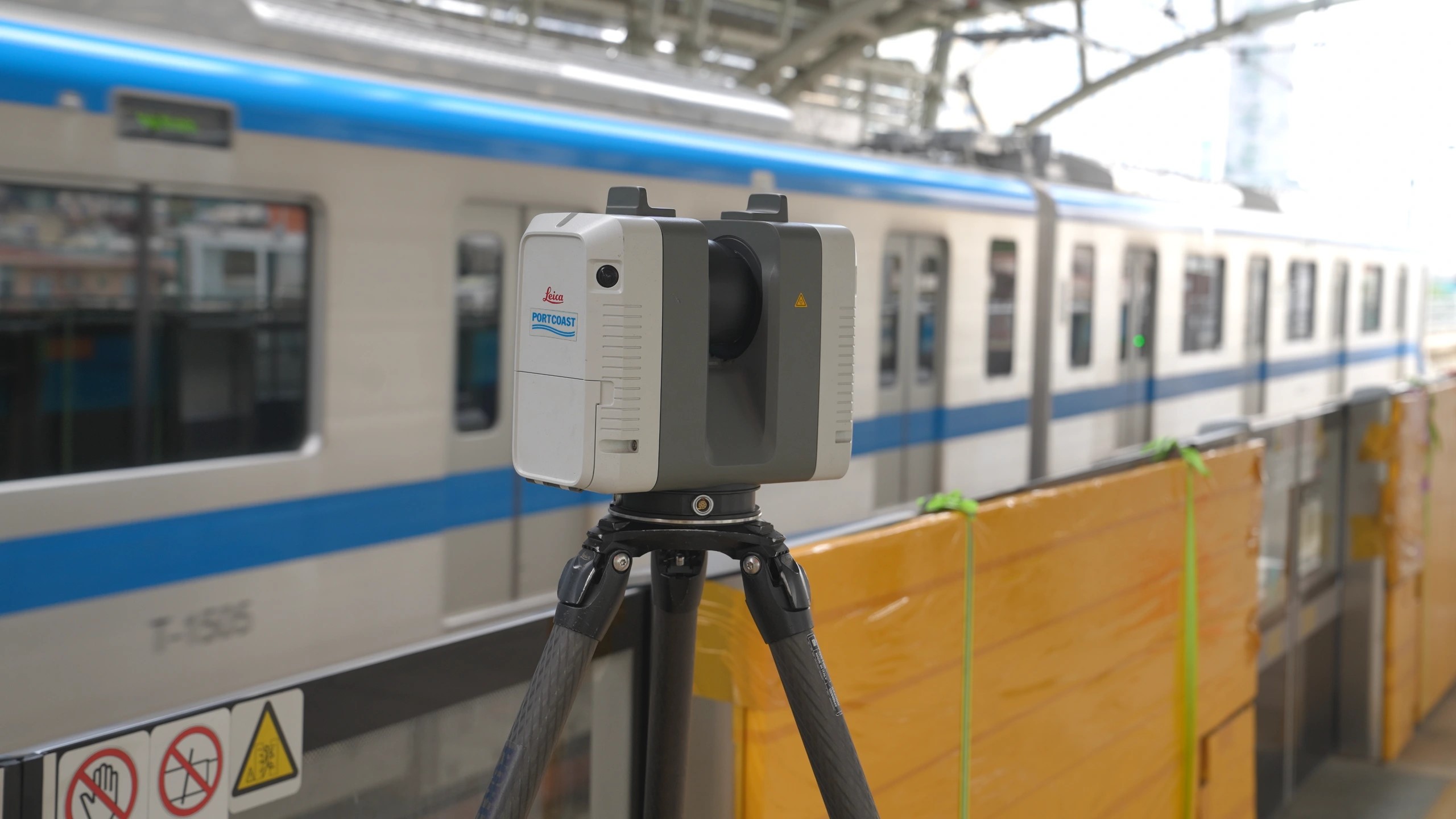
PHOTO: PCC
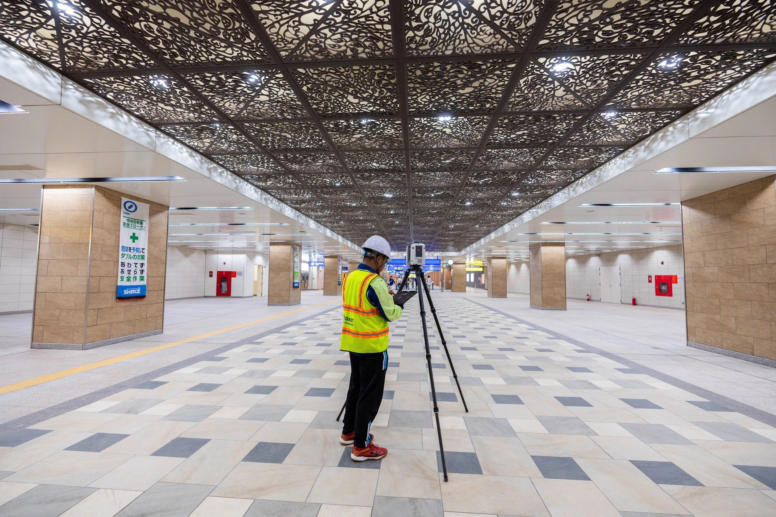
PHOTO: PCC
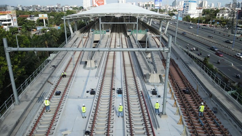
PHOTO: PCC
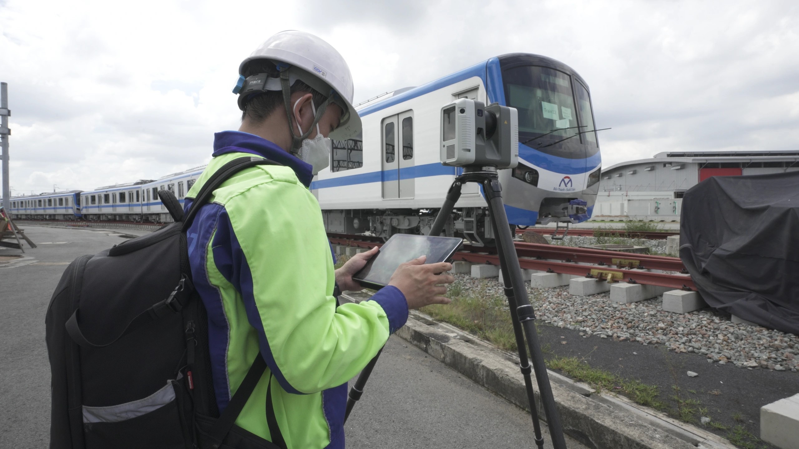
PHOTO: PCC
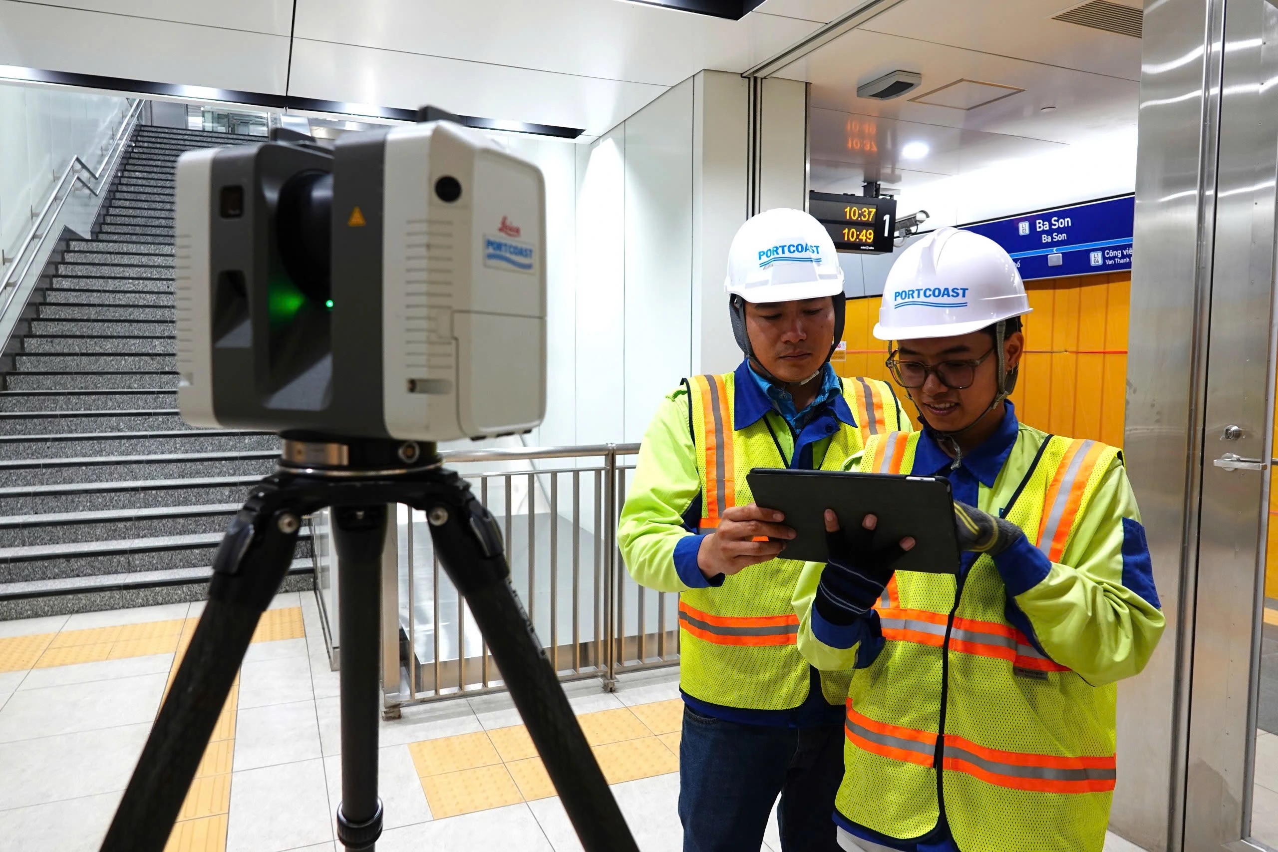
PHOTO: VŨ QUỐC ĐOAN
Source: thanhnien.vn
Pageviews: 0
Sáng 20/11, Đoàn công tác tỉnh Trà Vinh do Chủ tịch UBND tỉnh Lê Văn Hẳn dẫn đầu làm việc với Portcoast về tiềm năng phát triển cảng biển và chuyển đổi số hạ tầng
Theo www.travinh.gov.vn - 20/11/2024
Đoàn công tác của tỉnh Trà Vinh thăm và làm việc với Portcoast về tiềm...
Ngày 30/9/2024, Viện Quy hoạch Thủy lợi và Ban KC.14.21-30 tổ chức Hội thảo "Ứng dụng công nghệ mới trong tài nguyên nước và an toàn hồ đập" với sự tham dự của lãnh đạo Portcoast: ông Trần Tấn Phúc và ông Phạm Anh Tuấn
Theo iwrp.gov.vn - 02/10/2024
Ngày 30/9/2024, Viện Quy hoạch Thủy lợi và Ban chủ nhiệm chương trình ...
Chuyển đổi số trong xây dựng, tích hợp BIM và GIS phát triển Digital Twin. Portcoast sử dụng dữ liệu ArcGIS để quản lý lãnh thổ và mô phỏng kịch bản lũ lụt, hỗ trợ quy hoạch, ứng phó
Theo thanhnien.vn - 14/10/2024
Chuyển đổi số thực sự đã trở thành động lực quan trọng đối với sự phát...